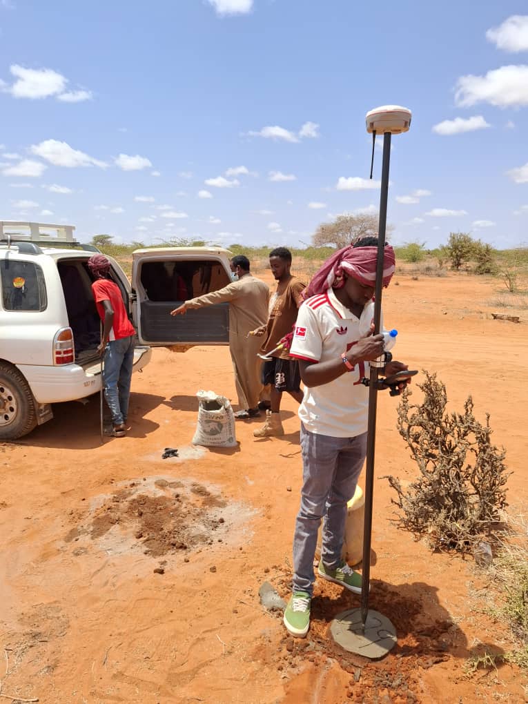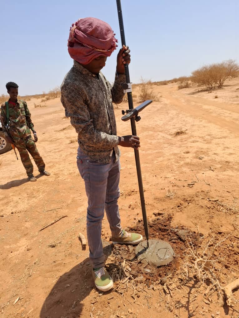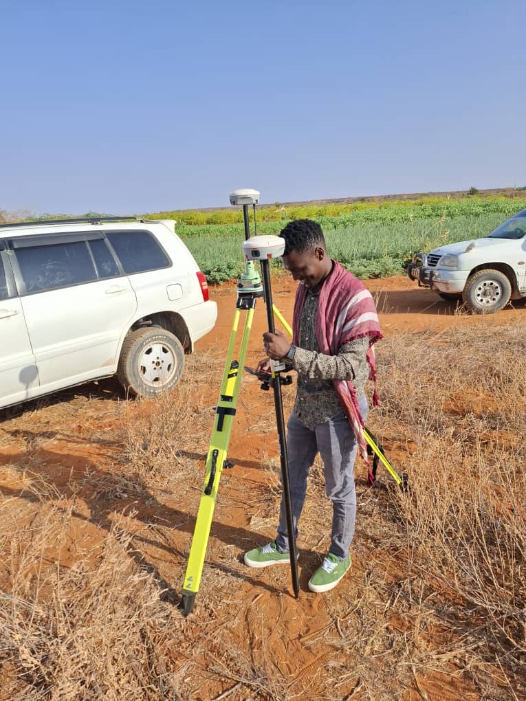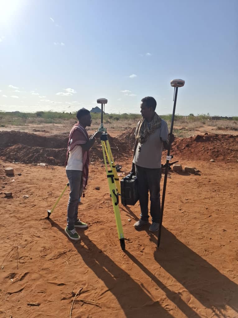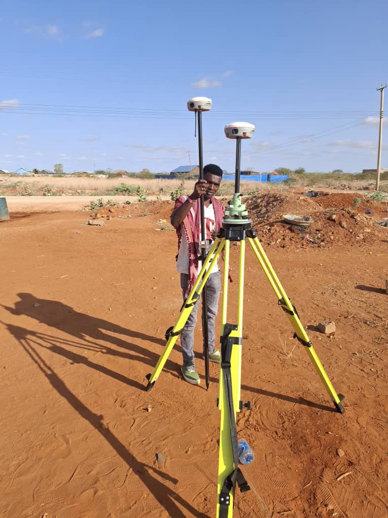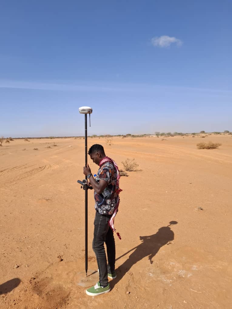
These photos show topographical survey activities conducted by Shawai Initiative Consultancy (SIC) during the feasibility study for the Dollow–Balad-Hawa feeder road in Gedo Region, under the DARIS-WACAN Project implemented by IOM.
The survey involved the use of GNSS/GPS equipment to collect accurate terrain, elevation, and alignment data along the proposed road corridor. The information gathered supports engineering design, drainage planning, environmental and social assessments, and cost estimation.
These activities demonstrate SIC’s technical capacity in delivering high-quality infrastructure feasibility studies that meet international standards and respond to local conditions.